
Fájl:Israel adm location map.svg

Eredeti fájl (SVG fájl, névlegesen 614 × 1 141 képpont, fájlméret: 124 KB)
Összefoglaló
| Leírás |
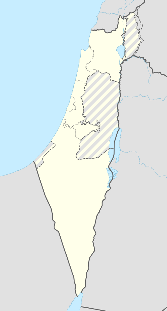
Deutsch: Positionskarte von Israel
English: Location map of Israel
|
||||||||||||
| Dátum | |||||||||||||
| Forrás |
Own work using:
|
||||||||||||
| Szerző | NordNordWest | ||||||||||||
| SVG kód | Ez vektorgrafikus kép Adobe Illustrator segítségével készült
|
||||||||||||

Licenc
Usage of this file with:

explanatory notes: Legally binding is only the full legalcode. For a free usage I recommend to respect the following licence conditions:
1. Provide my name as given above: NordNordWest,
2. a copy of, or the URI for, the applicable license: https://creativecommons.org/licenses/by-sa/3.0/de/legalcode,
3. the title of the work,
4. in the case of an adaptation, a credit identifying the use of the work in the adaptation.
This license and the rights granted hereunder will terminate automatically upon any breach by you of the terms of this license. Any of the above conditions can be waived if you get permission from the copyright holder. If you have questions or wish differing conditions, please contact me through nnwest or my discussion page ![]() t-online.de
t-online.de
- A következőket teheted a művel:
- megoszthatod – szabadon másolhatod, terjesztheted, bemutathatod és előadhatod a művet
- feldolgozhatod – származékos műveket hozhatsz létre
- Az alábbi feltételekkel:
- Nevezd meg! – A szerzőt megfelelően fel kell tüntetned, hivatkozást kell létrehoznod a licencre és jelezned kell, ha a művön változtatást hajtottál végre. Ezt bármilyen észszerű módon megteheted, kivéve oly módon, ami azt sugallná hogy a jogosult támogat téged vagy a felhasználásod körülményeit.
- Így add tovább! – Ha megváltoztatod, átalakítod, feldolgozod ezt a művet, a közreműködésedet csak az eredetivel megegyező vagy hasonló licenc alatt terjesztheted.

Fájltörténet
Kattints egy időpontra, hogy a fájl akkori állapotát láthasd.
| Dátum/idő | Bélyegkép | Felbontás | Feltöltő | Megjegyzés | |
|---|---|---|---|---|---|
| aktuális | 2016. szeptember 19., 10:27 | | 614 × 1 141 (124 KB) | NordNordWest | Reverted to version as of 18:01, 18 September 2016 (UTC); AGAIN: upload your version as a new file please |
| 2016. szeptember 18., 22:23 |  | 461 × 856 (80 KB) | Salvabl | Highest quality, with the Israeli territories in the West Bank (Area C) | |
| 2016. szeptember 18., 22:17 |  | 614 × 1 141 (124 KB) | Salvabl | Reverted to version as of 18:01, 18 September 2016 (UTC) | |
| 2016. szeptember 18., 21:28 |  | 614 × 1 141 (186 KB) | Salvabl | Reverted to version as of 17:40, 18 September 2016 (UTC) | |
| 2016. szeptember 18., 20:01 |  | 614 × 1 141 (124 KB) | NordNordWest | Reverted to version as of 17:12, 25 October 2015 (UTC), upload your version as a new file please | |
| 2016. szeptember 18., 19:40 |  | 614 × 1 141 (186 KB) | Salvabl | Added the Area C (Israeli territories in the West Bank) | |
| 2015. október 25., 19:12 |  | 614 × 1 141 (124 KB) | NordNordWest | more exact Jerusalem boundary | |
| 2014. szeptember 9., 19:29 |  | 614 × 1 141 (123 KB) | NordNordWest | == {{int:filedesc}} == {{Information |Description= {{de|1=Positionskarte von Israel}} {{en|1=Location map of Israel}} {{Location map series N |top=33.5 |bottom=29.3 |left=33.7 |right=36.3 }} |Source={{Own using}} * United States National Imagery and Ma... |
Fájlhasználat
Az alábbi lap használja ezt a fájlt:
Globális fájlhasználat
A következő wikik használják ezt a fájlt:
- Használata itt: de.wikipedia.org
- Jerusalem
- Tel Aviv-Jaffa
- Haifa
- Akkon
- Nazareth
- Cholon
- Bet Guvrin
- En Hod
- Zichron Jaʿakov
- Nachscholim
- Dan (Kibbuz)
- Jokne’am
- Karmi’el
- Maʿalot-Tarschiha
- Kirjat Tiw’on
- Kirjat Schmona
- Migdal haEmek
- Kirjat Mal’achi
- Tiberias
- Degania
- Afula
- En Gedi
- En Dor
- Jotvata
- Aschkelon
- Jad Mordechai
- Chadera
- Lochamej haGeta’ot
- Tabgha
- Ginnossar
- Eilat
- Schawe Zion
- Jagur
- Netanja
- Naharija
- Kfar Saba
- Rosch haNikra
- Benutzer Diskussion:Leshonai
- Maʿagan Micha’el
- Sderot
- Jerocham
- Palmachim
- Rischon LeZion
- Kabul (Israel)
- Nahalal
- Bet Schemesch
- Lod
- Be’er Scheva
- Sdot Jam
- Safed
A fájl globális használatának megtekintése