
Fájl:Middle America relief location map.png
Az előnézet mérete: 800 × 538 képpont További felbontások: 320 × 215 képpont | 640 × 430 képpont | 1 024 × 688 képpont | 1 280 × 860 képpont | 2 000 × 1 344 képpont.
Eredeti fájl (2 000 × 1 344 képpont, fájlméret: 3,56 MB, MIME-típus: image/png)
Összefoglaló
| Leírás |
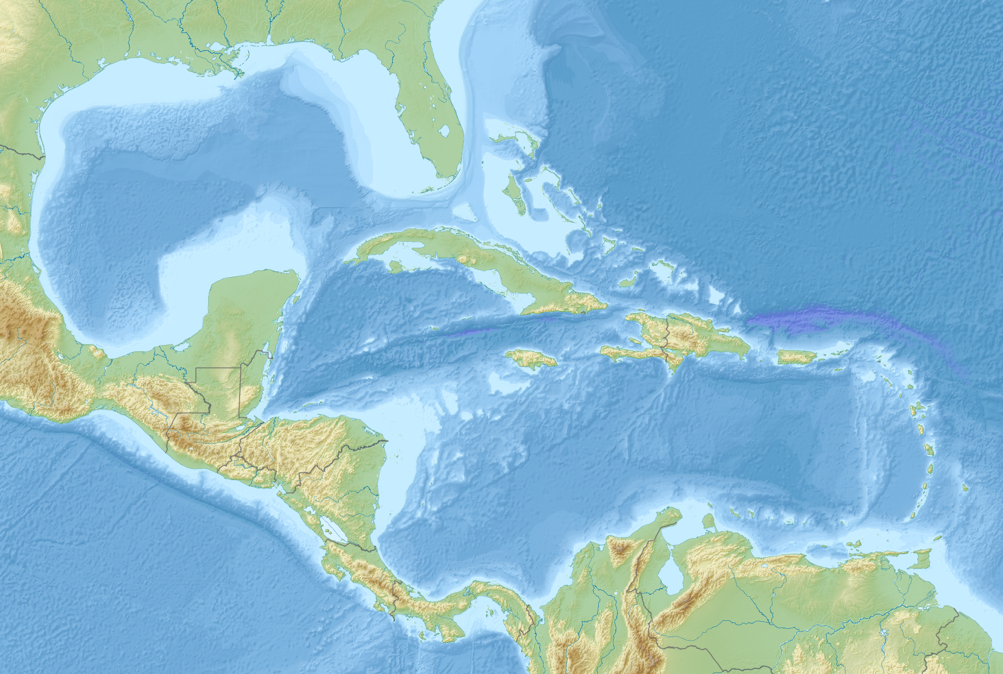
English: Map of Middle America, including the Gulf of Mexico and the Caribbean Sea, with the addition of national borders.
Equirectangular projection. Strechted by 106.0%. Geographic limits of the map:
Relief: ETOPO1. Coastline, borders, rivers etc: Made with Natural Earth. Free vector and raster map data @ naturalearthdata.com. |
| Dátum | |
| Forrás | A feltöltő saját munkája |
| Szerző | Uwe Dedering |
Licenc
Én, e mű szerzője a művemet az alábbi licenc alatt teszem közzé:
Ez a fájl a Creative Commons Nevezd meg! – Így add tovább! 3.0 Unported licenc alapján használható fel.
- A következőket teheted a művel:
- megoszthatod – szabadon másolhatod, terjesztheted, bemutathatod és előadhatod a művet
- feldolgozhatod – származékos műveket hozhatsz létre
- Az alábbi feltételekkel:
- Nevezd meg! – A szerzőt megfelelően fel kell tüntetned, hivatkozást kell létrehoznod a licencre és jelezned kell, ha a művön változtatást hajtottál végre. Ezt bármilyen észszerű módon megteheted, kivéve oly módon, ami azt sugallná hogy a jogosult támogat téged vagy a felhasználásod körülményeit.
- Így add tovább! – Ha megváltoztatod, átalakítod, feldolgozod ezt a művet, a közreműködésedet csak az eredetivel megegyező vagy hasonló licenc alatt terjesztheted.
Fájltörténet
Kattints egy időpontra, hogy a fájl akkori állapotát láthasd.
| Dátum/idő | Bélyegkép | Felbontás | Feltöltő | Megjegyzés | |
|---|---|---|---|---|---|
| aktuális | 2010. augusztus 19., 11:14 | | 2 000 × 1 344 (3,56 MB) | Uwe Dedering | {{Information |Description={{en|1=Map of Middle America, including the Gulf of Mexico and the Carribean Sea. Equirectangular projection. Strechted by 106.0%. Geographic limits of the map: * N: 32.0° N * S: 6.0° N * W: 99.0° W * E: 58.0° W Relief: [ |
Fájlhasználat
Ezt a fájlt nem használja egyetlen lap sem.
Globális fájlhasználat
A következő wikik használják ezt a fájlt:
- Használata itt: ar.wikipedia.org
- Használata itt: az.wikipedia.org
- Használata itt: ba.wikipedia.org
- Használata itt: ceb.wikipedia.org
- Használata itt: ce.wikipedia.org
- Használata itt: de.wikipedia.org
- Használata itt: en.wikipedia.org
- 2006 Gulf of Mexico earthquake
- American Mediterranean Sea
- Module:Location map/data/Middle America/doc
- San Esteban (1554 shipwreck)
- 2004 Les Saintes earthquake
- 1843 Guadeloupe earthquake
- Module:Location map/data/Middle America
- 1867 Virgin Islands earthquake and tsunami
- 1839 Martinique earthquake
- Maya Block
- Yucatán Platform
- Használata itt: es.wikipedia.org
- Használata itt: et.wikipedia.org
- Használata itt: fr.wikipedia.org
A fájl globális használatának megtekintése